Travel Guide of Watsonville in United States by Influencers and Travelers
Watsonville is a city in Santa Cruz County, California, United States. The population was 51,199 according to the 2010 census. The Pajaro Valley, where Watsonville is located, has a climate that is around 60 to 70 °F throughout much of the year.
The Best Things to Do and Visit in Watsonville
TRAVELERS TOP 10 :
- Sunset State Beach
- Moss Landing
- Surfing Lessons in Santa Cruz
- Crow's Nest Restaurant
- Walton Lighthouse
- Santa Cruz
- Natural Bridges State Beach
- Gilroy
- Monterey Bay Aquarium
- Sand City
1 - Sunset State Beach
Sunset Beach State Recreation Site is a state park in Clatsop County, Oregon, United States, administered by the Oregon Parks and Recreation Department. The park comprises 120 acres along the Pacific Ocean on the Clatsop Plains.
Learn more Book this experience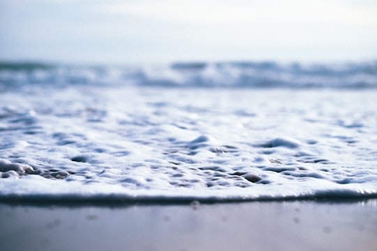

2 - Moss Landing
10 km away
Moss Landing, formerly Moss, is a census-designated place in Monterey County, California, United States. Moss Landing is located 15 miles north-northeast of Monterey, at an elevation of 10 feet.
Learn more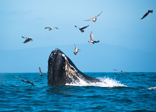
3 - Surfing Lessons in Santa Cruz
20 km away
Learn to surf in Santa Cruz during a 3-hour clinic designed with the beginner in mind. Novices are welcome, as well as anyone who has tried surfing but could use some tips for balancing on the board and catching a wave. You'll get plenty of practice with paddling and pop-up techniques while learning about wave breaks, ocean conditions, and safety in and out of the water, including surf etiquette. Includes all necessary equipment.
Book this experience
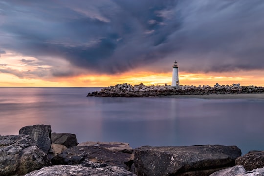
4 - Crow's Nest Restaurant
17 km away
Learn more
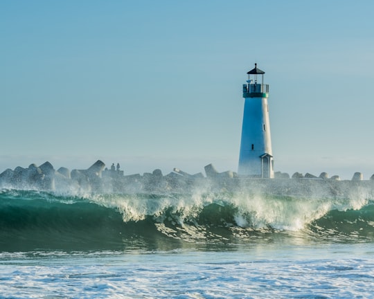
5 - Walton Lighthouse
17 km away
Learn more
6 - Santa Cruz
19 km away
Santa Cruz is the county seat and largest city of Santa Cruz County, California. As of 2019 the U.S. Census Bureau estimated Santa Cruz's population at 64,608.
Learn more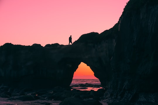
7 - Natural Bridges State Beach
21 km away
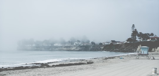
Natural Bridges State Beach is a 65-acre California state park in Santa Cruz, California in the United States. The park features a natural bridge across a section of the beach. It is also well known as a hotspot to see monarch butterfly migrations.
Learn more Book this experience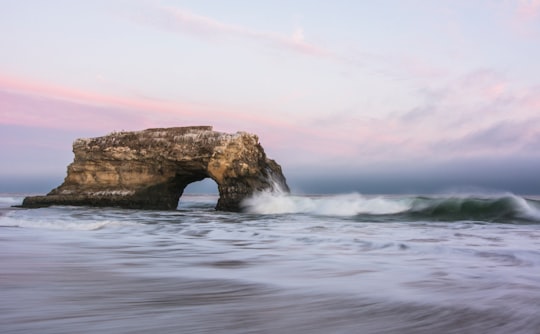
8 - Gilroy
28 km away
Gilroy is a city in Northern California's Santa Clara County, south of Morgan Hill and north of San Benito County. The city's population was 48,821 at the 2010 United States Census.
Learn more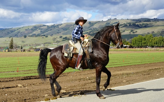
9 - Monterey Bay Aquarium
30 km away
Monterey Bay Aquarium is a nonprofit public aquarium in Monterey, California. Known for its regional focus on the marine habitats of Monterey Bay, it was the first to exhibit a living kelp forest when it opened in October 1984.
Learn more Book this experience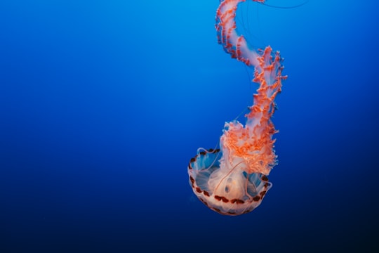
10 - Sand City
30 km away
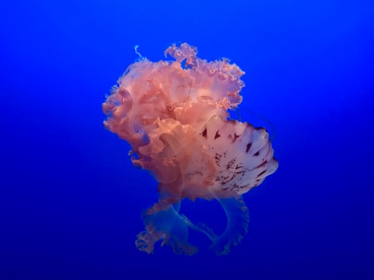
Sand City is a city in Monterey County, California, United States, located on the shores of Monterey Bay, and surrounded on most sides by the larger city of Seaside. Sand City is located 2 miles northeast of Monterey, at an elevation of 72 feet. The population was 334 at the 2010 census, up from 261 at the 2000 census. The city is predominantly a business community, and has a number of larger retail stores. The West End area of Sand City, once an industrial area, hosts a growing artists' colony.
Learn more
11 - Mount Umunhum
30 km away
Mount Umunhum is a peak in the Santa Cruz Mountains, located in Santa Clara County, California. It is the fourth-highest peak in the Santa Cruz Mountains, after Loma Prieta, Crystal Peak, and Mt. Chual.
Learn more Book this experience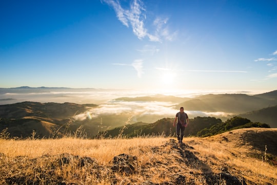
12 - Monterey
31 km away
Monterey is a city located in Monterey County on the southern edge of Monterey Bay on the U.S. state of California's Central Coast. Founded on June 3, 1770, it functioned as the capital of Alta California under both Spain and Mexico.
Learn more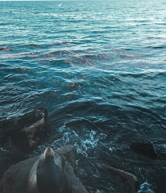
13 - Coast Dairies State Park
31 km away
Coast Dairies is a state park and BLM public land in Santa Cruz County, California, near the city of Davenport. It is managed as part of Wilder Ranch State Park, which is south of the park.
Learn more Book this experience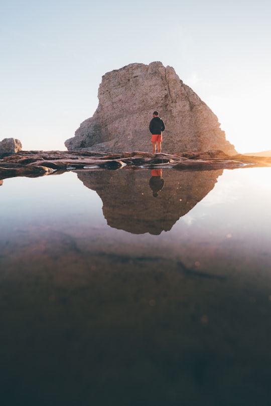
Disover the best Instagram Spots around Watsonville here
Book Tours and Activities in Watsonville
Discover the best tours and activities around Watsonville, United States and book your travel experience today with our booking partners
Plan your trip in Watsonville with AI 🤖 🗺
Roadtrips.ai is a AI powered trip planner that you can use to generate a customized trip itinerary for any destination in United States in just one clickJust write your activities preferences, budget and number of days travelling and our artificial intelligence will do the rest for you
👉 Use the AI Trip Planner
Where to Stay in Watsonville
Discover the best hotels around Watsonville, United States and book your stay today with our booking partner booking.com
More Travel spots to explore around Watsonville
Click on the pictures to learn more about the places and to get directions
Discover more travel spots to explore around Watsonville
🌊 Ocean spotsTravel map of Watsonville
Explore popular touristic places around Watsonville